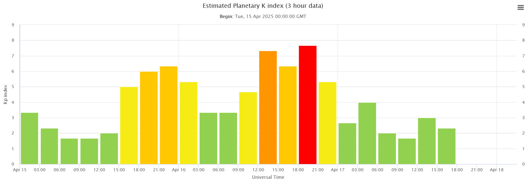
GEOMAGNETIC GROUND CURRENTS IN NORTH AMERICA: Space weather doesn’t only happen in the sky. It’s in the ground, too. On April 16th, a severe geomagnetic storm caused electricity to flow through the rocks and soil of North America. Red zones in this animated map from NOAA show where voltages were greatest:

This 10-minute animation shows North American ground currents at the apex of the April 16th G4 geomagnetic storm
Geoelectric voltages were more than 70 times normal in the Appalachian mountain range, northern Minnesota, and northwestern Canada. Texas and other western US states were relatively unscathed.
Researchers track ground currents because in extreme cases they can cause power outages like the Great Québec Blackout of March 13, 1989. This week’s storm wasn’t intense or long-lasting enough to bring down power grids, but NOAA’s maps show where power stations are most vulnerable.
“Generally, geoelectric amplitudes are high over metamorphic rock, such as in the Appalachians and northern Minnesota,” explains Jeffrey Love of the US Geological Survey (USGS). “They are usually low over sedimentary rock such as in Texas and northwest of the Appalachians.”
Realtime electric field maps are published 24/7 on the NOAA website. During the next geomagnetic storm, click here to see what’s happening underfoot!